There is no such thing as a herd of moose except on the Teton Crest Trail in Grand Teton National Park (GTNP).
Meet Bryce, Contributing Author
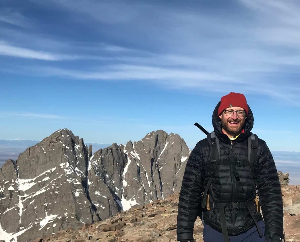
Bryce is a Contributing Author and the Dad behind Raising Hikers. In his “abundant” free time, he either hikes or does the next best thing, which is planning future hikes. His first backpacking trips were in RMNP where he had the privilege of working one summer during college. Later he completed a one-month NOLS mountaineering course in the remote Waddington Range in British Columbia. While starting a career in Washington State he took the alpine climbing and rock climbing courses in the Seattle Mountaineers. With friends from NOLS and the “Mounties” he summited Forbidden Peak, Liberty Bell, Glacier Peak, and Mt. Rainier, Shuksan, Baker, Hood, Adams, St. Helens, and Shasta. The births of his children inspired him to take up “safer” pursuits like long-distance backpacking trips in the Canadian Rockies, Sierra Nevada, Wind Rivers, and Glacier National Park. Right now he dreams of taking Em and Walker to remote backcountry destinations in the San Juan mountains of SW Colorado.
The Teton Crest Trail certainly deserves its place on the shortlist of top backpacking trips in the National Park System. My brother and I completed the full route from the southern endpoint at the Phillips Pass/Ski Lake TH on Wyoming Hwy 22 to the northern terminus at String Lake over four days and three nights in late August 2020. I had been coveting this trip for at least six years, and the wait was painful but worth it. We chose to go the standard direction, south to north, in order to save the best (Lake Solitude and Paintbrush Divide) for last. The Aerial Tramway gondola from Teton Village was closed due to COVID, so we were forced to enter from the Phillips Pass trailhead.
The best part of any backpacking trip is the time spent above the trees, so the experience of hiking so many miles through meadows with commanding vistas was for me confirmation of the TCT’s lofty reputation. The wildfire smoke that drifted in from California right as our trip was scheduled to start prompted us to forego our backcountry reservations – permits that were secured in the furious online stampede on recreation.gov seven months prior – and delay the trip by one week in hopes that the atmosphere would clear and that we could score walk-up permits at the key locations to support our four-day window. After a week of obsessively checking the local webcams and air quality index reports and seeing a favorable trend, we decided the trip was a “go.” I left my house in south Denver at 12am and arrived at the Moose Visitor Center backcountry permit office at 6:30am. There were already 12 parties queued in front of me. Our prospects did not look good, but I somehow had the good fortune of getting backcountry bookings in the Middle / South Fork Granite Canyon zone (Night 1), Alaska Basin (Night 2), and the North Fork Cascade Canyon zone (Night 3).
If you plan to snag walk-up permits, be sure to arrive early and have your itinerary well defined so as not to bog down the process once you actually get to speak to a ranger. I would also recommend being flexible about your target camps, which might mean accepting the possibility of camping outside the park boundary in the Jedediah Smith Wilderness where there is no permit limit. The fee for advanced reservations (open for booking online on recreation.gov in January) is $45, and for walk-in permit the fee is $35.
Also, please note that bear-resistant food storage devices must be carried with you. The NPS indicates that these are not required for cases when food storage boxes are provided, but we did not see any such lockers at the campsites we passed. The portable canisters are issued at the backcountry permit office or can be rented at some outdoor supply retailers. Click here for the NPS backcountry trip planner for Grand Teton National Park.
Day 1 of Teton Crest Trail, Phillips Pass Trailhead to Middle Fork Backcountry Zone
Miles: Approximately 10.5 mi*
Elevation Gain: Approximately 2,000 feet*
*Note: I did not have Strava tracking my progress on Day 1 in the interest of conserving cell phone battery. So these are my own estimates. The mileage and gain that I provide for Days 2-4 will be more accurate because those were tracked by Strava.
My brother and I met in the String Lake parking lot about 11am and left my vehicle there for retrieval four days later (while being triple-sure to bring my keys with me); we then rode together in his vehicle through Jackson to the Philips Pass trailhead. The Phillips hike is nothing special until you break out of the trees on the climb to Phillips Pass itself. It’s here that you get your first experience of vast meadows, which will be a recurring theme on the TCT. I can only imagine the profusion of wildflowers that would have been present earlier in the season.
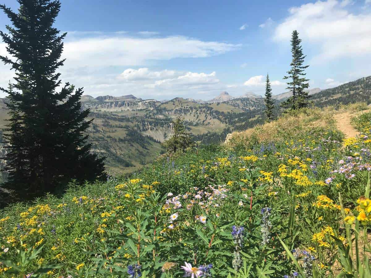
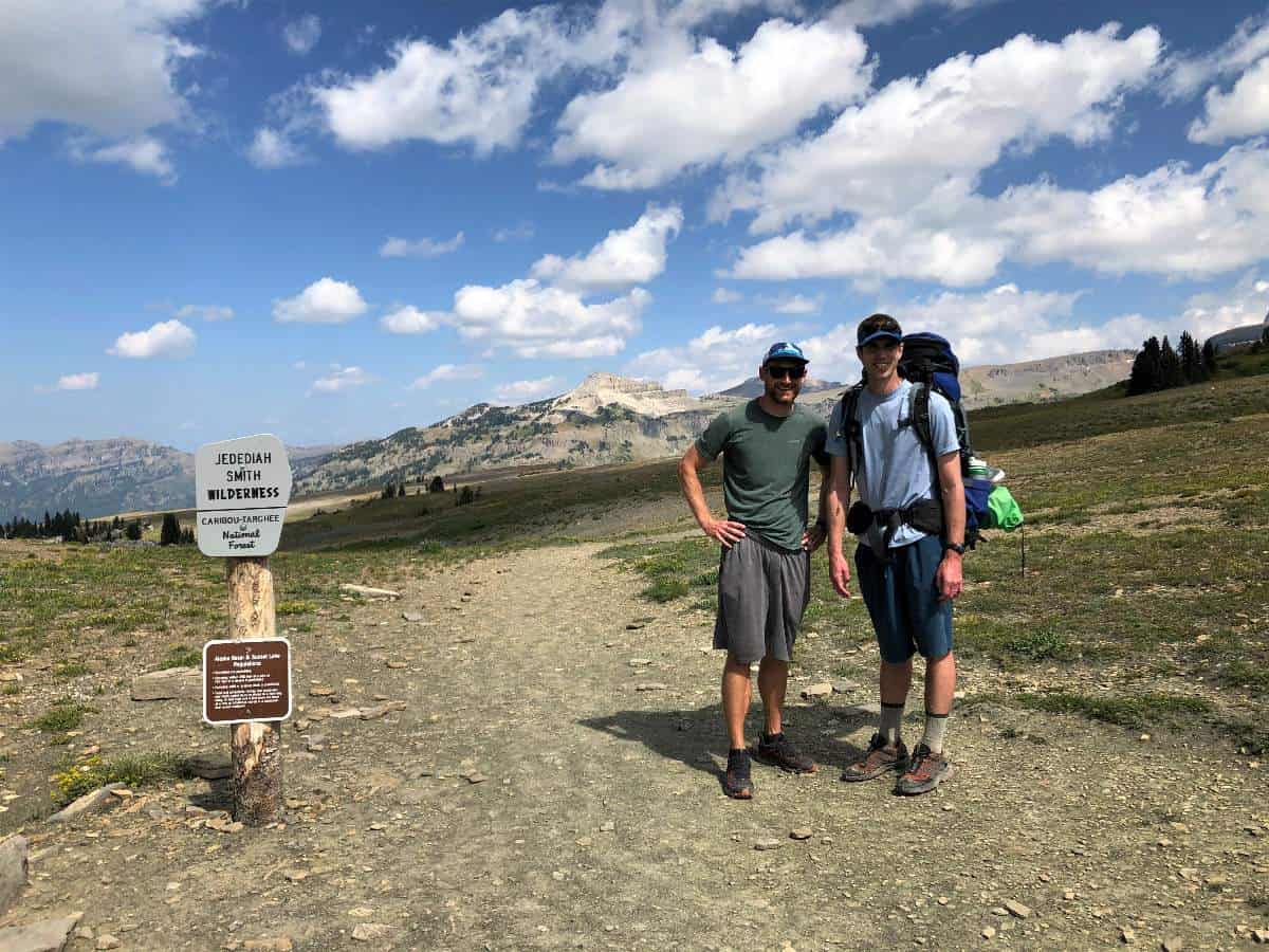
This portion of the Teton Crest Trail remains in the Bridger-Teton National Forest and outside the national park boundary for nine to ten miles, so camping here does not require permits. However, there are very few viable sites as most of the trailside vegetation is prickly and full of burrs. At about mile six or seven there is one passable tent site in the forest near a minor creek that was dry when we passed it. It was remarkable how quickly the flora turned more benign once we climbed above the Moose Lake trail junction and entered the national park boundary. This particular border must have been drawn not arbitrarily but by the presence or absence of the briar patch. My fears of sleeping in the brambles were assuaged almost instantly upon seeing the gentle meadows of Grand Teton National Park.
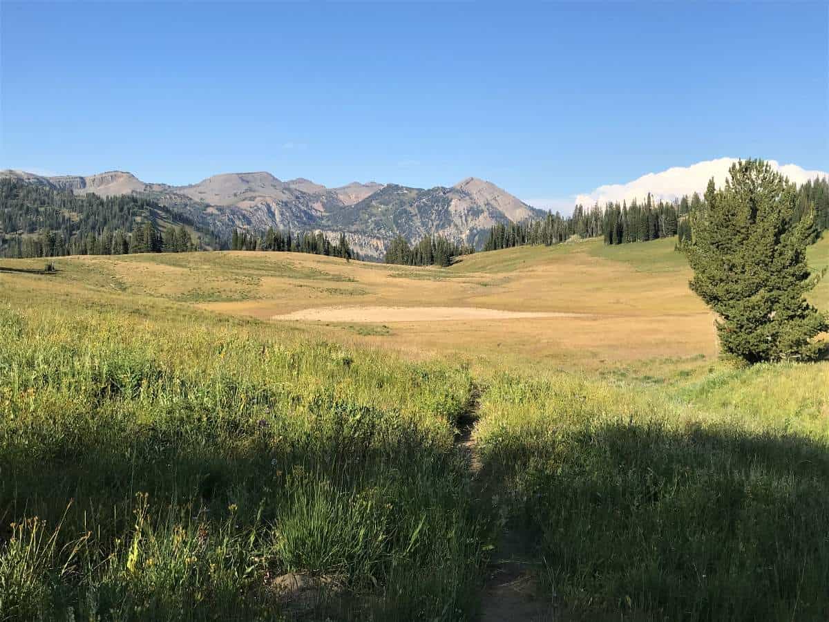
Earlier we had encountered a fellow TCTer who mentioned he had seen a herd of moose the night before. I smugly thought to myself that what he really saw were elk because there is no such thing as a herd of moose. I later had to eat crow (instead of Mountain House lasagna freeze-dried meal) as six moose — four of them bull – wandered from the cover of the trees into the Middle Fork meadows after we set up camp. And this was with a near-full moon on the rise! They were still there eating as a group an hour later as full darkness set in. This made for a great end to Day 1 as we looked forward to the iconic Death Canyon Shelf and Alaska Basin the next day. The gondola from Teton Village was not open this year due to COVID, but I imagine those who choose to use that option in the future would enjoy camping in the Middle Fork backcountry zone or a little farther north up the trail at Marion Lake.
Day 2 of TCT, Middle Fork to Sunset Lake in Alaska Basin via Death Canyon Shelf
Miles: 13.4 mi
Elevation Gain: 2,440 feet
Day 2 started with a win as we never heard any signs of bears or moose nearby in the night, but we did awaken to serious frost. We had this frost to thank for the absence of mosquitoes for the entire trip. We had approximately 13 miles to cover from Middle Fork to Sunset Lake in Alaska Basin, so we forwent the drying of our gear and breakfast until the sun had time to gain some strength. The 2.2-mile hike from Middle Fork to Marion Lake treated us to a better wildflower display than what we had experienced the first day, and this tended to be true for any portions of trail near watercourses for the rest of the trip.
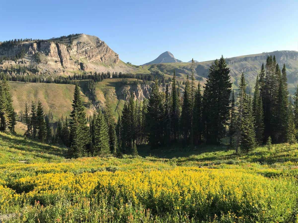
Marion Lake with its azure blue color and abundant wildflowers ended up being the perfect place to unpack and air out our wet gear in the sun and to have some Starbucks Via coffee in hot water from my Jetboil. My brother breakfasted on what I called “Kitchen Sink Oatmeal,” which contained, among other things, Reese’s Pieces.
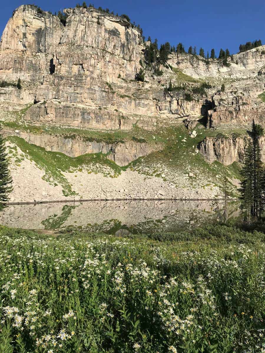
The climb to the ridge above Marion Lake wasn’t exhausting and we briefly got cell service at the top. The look-back to Marion Lake was magnificent. From the ridge we gained our first views of the Grand Teton, and it did not hurt that there were seemingly many miles of meadows in the foreground of this view. Here you exit the national park and re-enter Jedediah Smith Wilderness for most of the 2.9 mi that lies between Marion Lake and Fox Creek Pass. NPS backcountry camping permits are not required between the ridge and Fox Creek Pass, and there was one outstanding tent platform near the trail. If you seek to camp there, just know that it is valuable backpacker real estate and plan accordingly. Fox Creek Pass is the southern endpoint of Death Canyon Shelf and marks the re-entry point to Grand Teton National Park from the Jedediah Smith Wilderness.
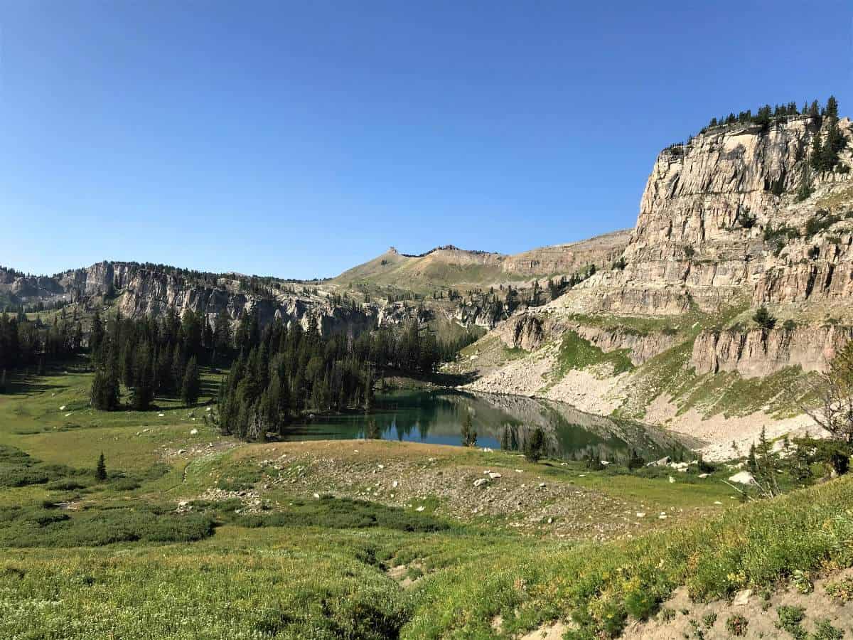
Death Canyon Shelf made for 3.4 miles of pleasant, fairly flat walking in a continuous meadow dotted with trees; the views down into Death Canyon itself were phenomenal. We were able to fill water bottles at a nice creek midway through the Shelf (which apparently had been dry before a rainstorm two days prior). If you are completing the route later in the season, prepare for dry conditions and consider bringing enough water to get you the approximately nine miles from Marion Lake to Alaska Basin. However, there are designated backcountry campsites on the Shelf, so water may be more available here than I am giving it credit for.
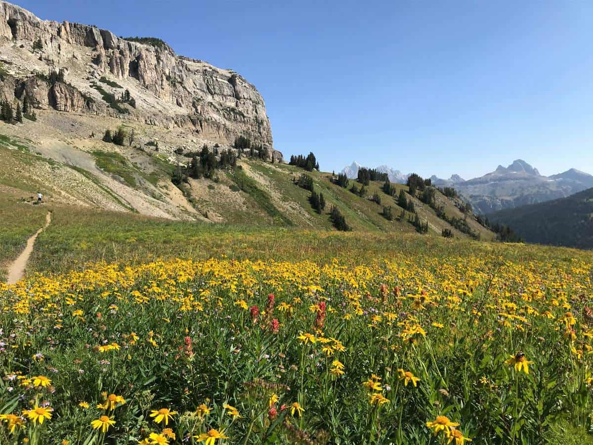
The northern end of Death Canyon Shelf at Mt. Meek Pass overlooks Alaska Basin, Teton Canyon, and the Grand Teton. This was one of my favorite vistas of the trip. One day I would like to backpack the Devil’s Staircase on the Teton Canyon Trail in the Jedediah Smith Wilderness from Idaho and camp in the rock-ringed green meadow just west of the Mount Meek Pass junction with the Teton Canyon upper shelf trail.
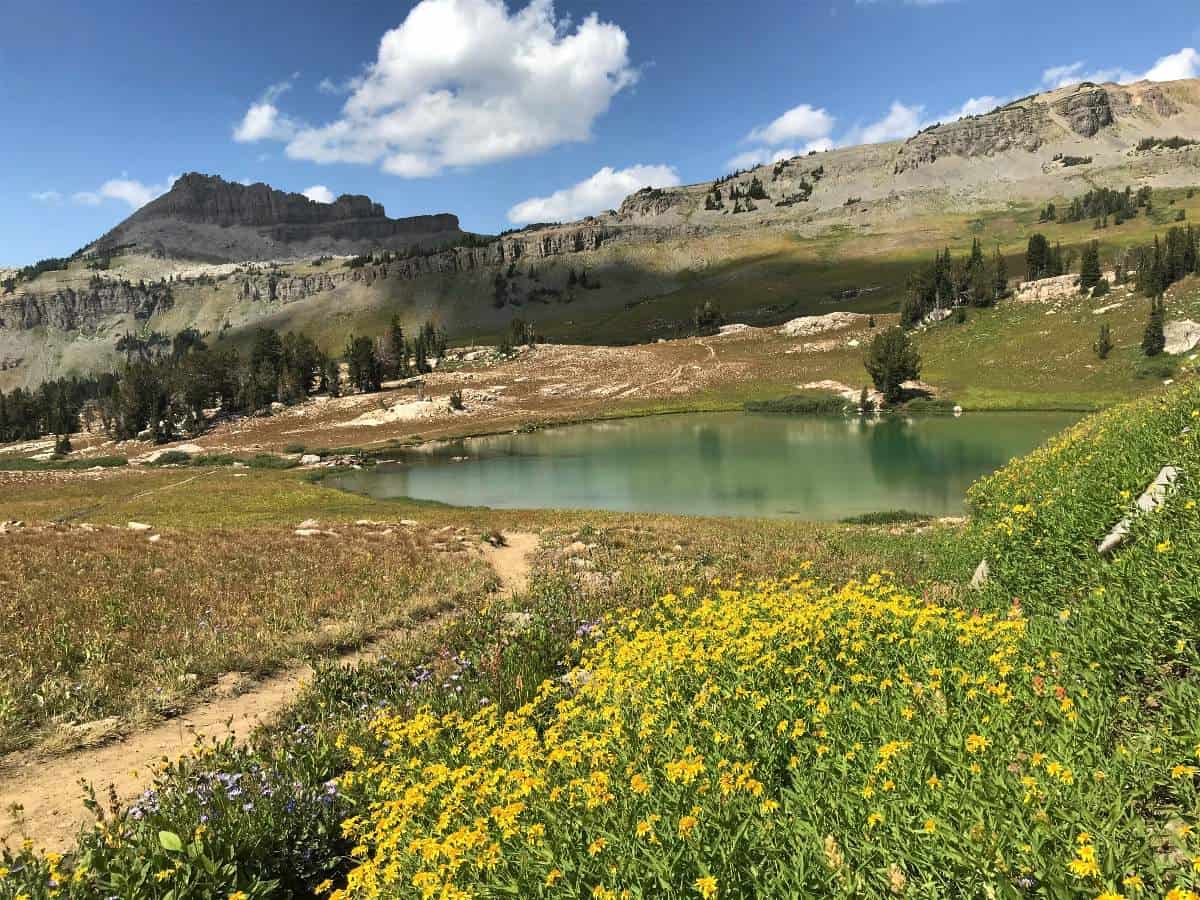
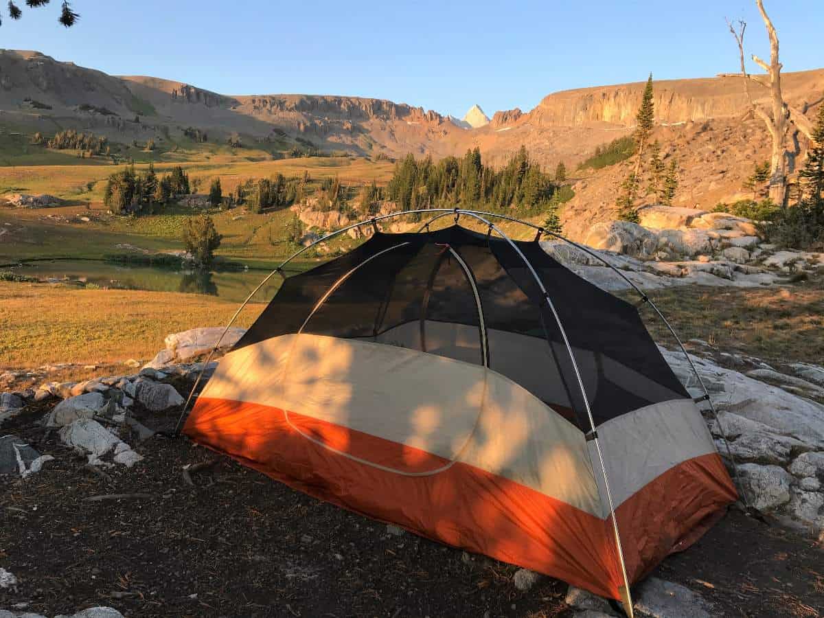
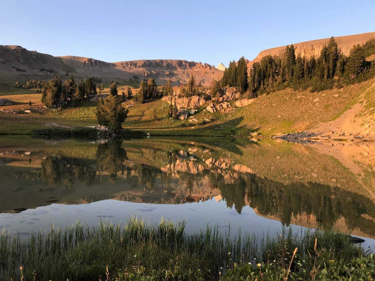
The descent into Basin Lakes of Alaska Basin was steep and hot on the Sheep Steps. We started to see a lot more people at Mount Meek Pass and in the basin, which was somewhat of an unpleasant shock to the system after being isolated from contact in the Middle Fork and Phillips Pass area. The Basin Lakes area should have been called “Sierra Nevada Basin” with its glaciated, Sierra-like granite. The camping here would be pleasant, but we had our sights set on Sunset Lake about a mile farther north. Despite having covered almost 13 miles, we were able to arrive early enough at Sunset Lake to score the best of the approximately ten unofficial tent pads there. This particular site is the first one you encounter as you descend to the lake from the south, and it is elevated slightly above the lake offering views of the tip of the Grand Teton and to the TCT trail that wends its way up toward Hurricane Pass. Sunset Lake is about three miles north of Mount Meek Pass, and the length of the Teton Crest Trail that passes through Alaska Basin is approximately five miles.
From this lucky camp we took in the rich sunset colors and questioned the sanity of the people swimming in Sunset Lake. We also contemplated what the next day’s hike over Hurricane Pass would hold. I would later realize that we should have been climbing Hurricane Pass as an evening dayhike at that moment to catch dramatic sunset light on the Grand Teton and its Cathedral Group counterparts. Those main peaks would prove to be backlit and muted the next morning when we topped out on Hurricane Pass.
Day 3 of Teton Crest Trail, Sunset Lake to Solitude Lake
Miles: 13.9 mi (including the optional trip to Mica Lake)
Elevation Gain: 3,080 feet (including the optional trip to Mica Lake)
Day 3 dawned without frost but with a thin layer of clouds arriving from Idaho – and a brief bout of sprinkles had me questioning the wisdom of my decision to go without the rainfly. But thankfully the clouds and precipitation were short-lived. Breakfast and coffee would be on the other side of the aptly named Hurricane Pass. This windy pass is the second-highest point of the Teton Crest Trail at 10,400 ft, with the highest point being Day 4’s Paintbrush Divide at 10,700 ft. Verdant meadows and views of Battleship Mountain and the dramatic Jedediah Smith topography made the nearly-2.0 mile climb to Hurricane Pass very pleasant.
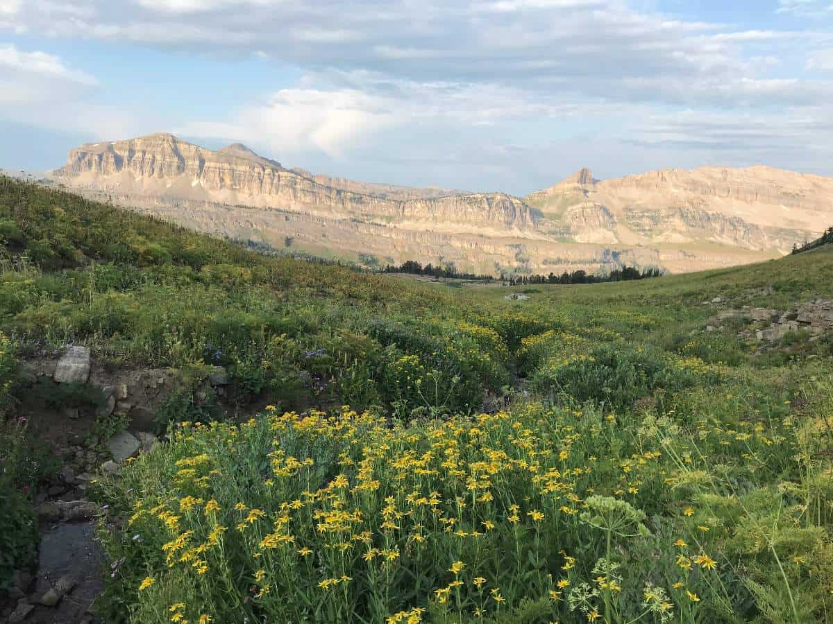
Hurricane Pass’s proximity to the Grand Teton make it one of the highlights of the route. But the mountains were backlit and high winds prevailed. So it was kind of a let-down, but the feel of the place was still awesome. This is as close to the Cathedral Group peaks as we would get save for the period we would pass their east-west plane in the low portion of the South Fork Cascade Canyon on the way up to the North Fork Cascade Canyon Backcountry camping zone.
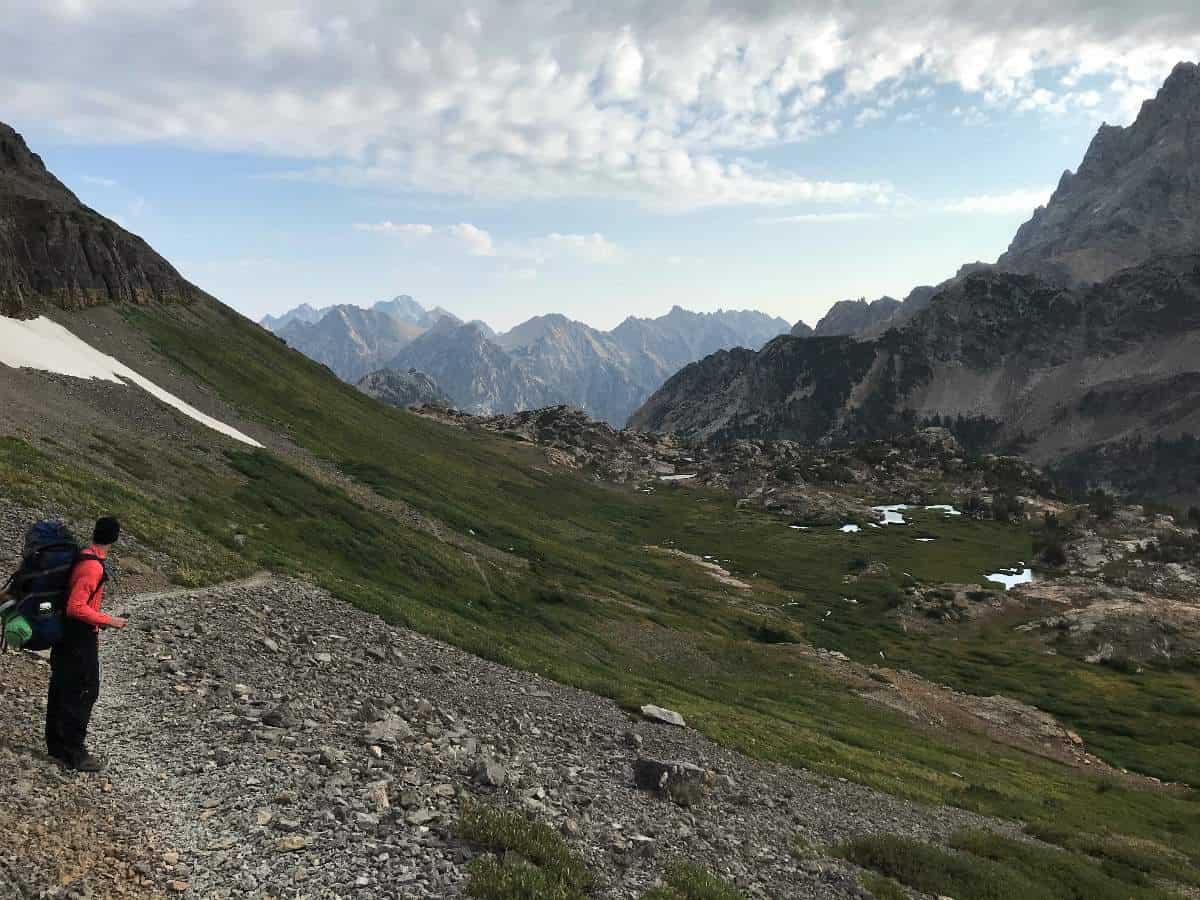
We descended out of the gusty wind and took breakfast and coffee in a small meadow patch in the glaciated granite benches overlooking the tall peaks and the cascade flowing from the out-of-view Icefloe Lake. The Schoolroom Glacier was larger than I expected given the pictures of it I had seen earlier. Much of the descent from Hurricane Pass down into South Fork Cascade Canyon was under the Cathedral Group; there were dramatic cliffs, lush meadows, plentiful water flow, and pockets of wildflowers. The confluence of the South and North Fork Cascade Canyons with the primary Cascade Canyon was an awesome sight to see, and I likened it to a miniature Grand Canyon of granite.
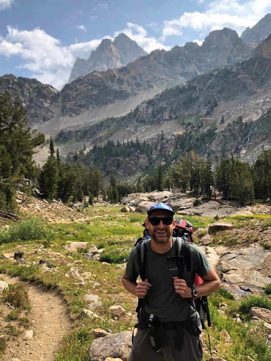
But as we got farther down in South Fork Cascade Canyon (the lowest elevation since the start of the trip) we simply tried to plow through the boring downhill miles in view-obstructing forest. We started to see more dayhikers as we descended. In fact, the number of people streaming up from the Jenny Lake boat ramp to Solitude Lake dwarfed anything we had yet seen. The distance between Hurricane Pass to the junction of South Fork Cascade Canyon and the primary Cascade Canyon is 5.6 miles; it’s 2.3 miles from this junction to Lake Solitude via North Fork Cascade Canyon.
In the North Fork we booked it past capable dayhikers with light packs in hopes of arriving first at the farthest north tent pad of the official North Fork Cascade Backcountry Zone. It is worth noting that one of the best dayhikes in the park must be the trip from the Jenny Lake boat ramp to Lake Solitude and back, which would be stout but feasible for reasonably fit hikers (understandably, we did not see any dayhiking parents lugging small children up to Lake Solitude). Thirteen miles later we were indeed able to secure the campsite of our dreams in the North Fork Cascade backcountry camping zone. Most of North Fork Cascade Canyon is below tree line but it must be swept by avalanches in the winter and is therefore remarkably absent of trees. This is what allows the tremendous views of the Grand Teton that we enjoyed for the rest of the day.
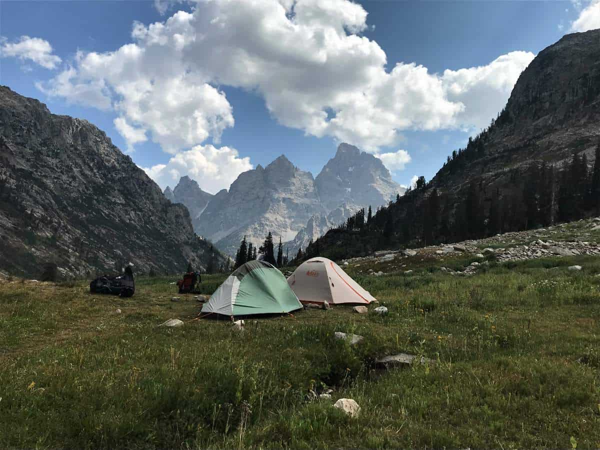
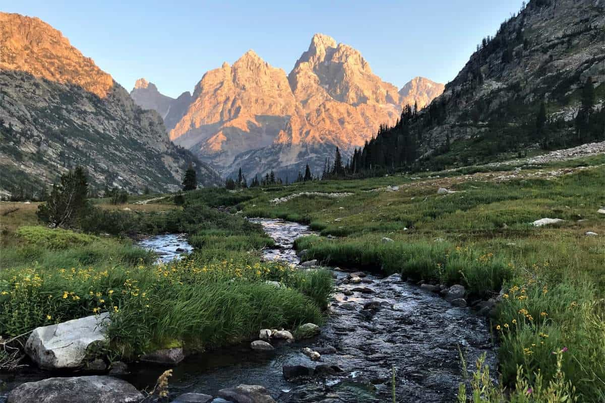
I believe North Fork Cascade Canyon is one of the most scenic, pleasant backcountry camps in all of the national parks. There was meadowy grass that we could walk on barefoot, and this was laced by brooks and two larger streams. One of these was the outlet of Lake Solitude. These streams and their surrounding wildflowers would prove to be phenomenal foreground imagery for sunset pictures. After basking in this Teton glory we identified an ascent line up to Mica Lake next to what we thought was its outlet stream. We attempted the climb and were proved right, but the gorge it flowed through midway up was too treacherous, so we bailed to a steep tundra slope that fed into a final climb on large sturdy boulders. The views back to Mt. Owen and Teewinot were breathtaking.

Mica Lake was a worthwhile destination, and it was larger than we expected. The wildflowers surrounding its outlet stream were the only sign of life in an otherwise austere environment.
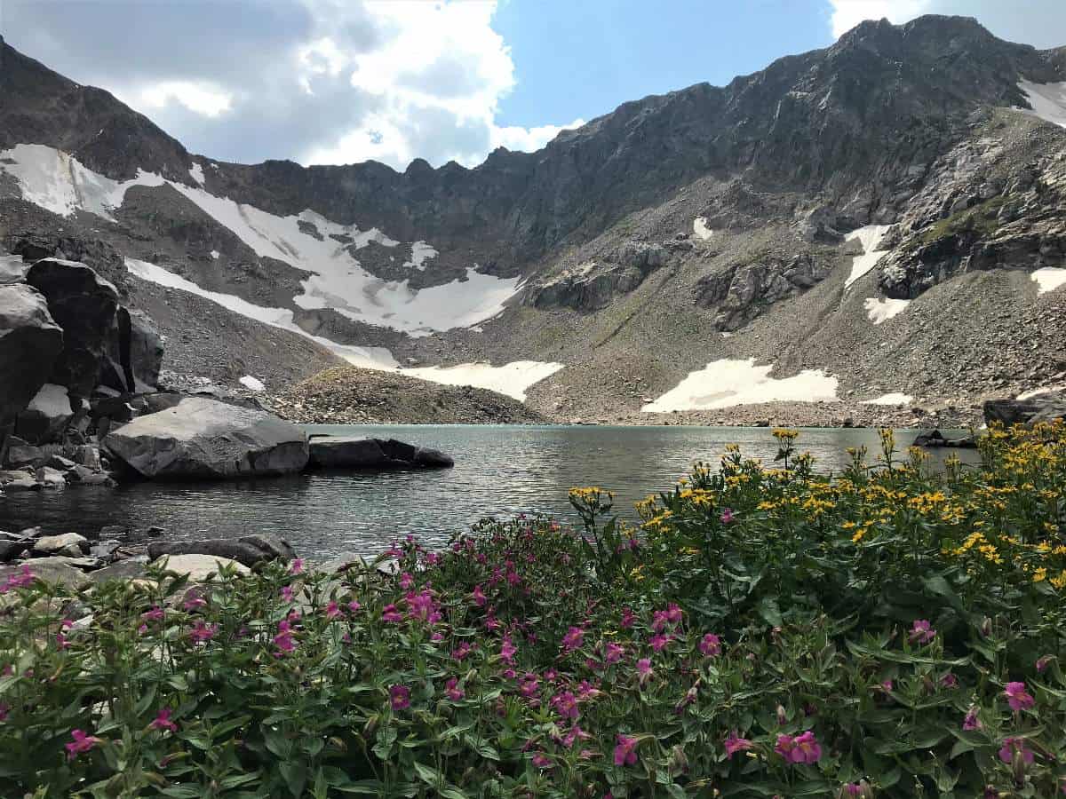

From Mica Lake we contoured down and over to Lake Solitude for dinner. This lake was massive, and the brooks and streams cascading behind it higher (west-northwest) in the basin were a charming diversion. We enjoyed a pleasant dinner overlooking the lake and watched the color change on the massive steep north faces of the Grand, Owen, Teewinot, and the minor peaks forming the closer rim of Valhalla canyon. Also, there’s no denying the sense of awe I got every time I would glance up to the Paintbrush Divide trail that runs in a perfect diagonal up the side of the canyon. This would be a thrill (and massive workout) to tackle the next day.

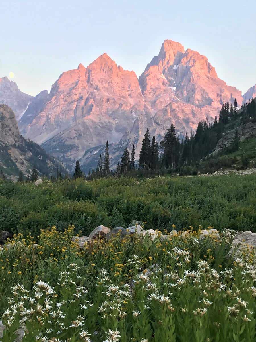
After we completed the five-minute descent from the lake back down to our tents, we were treated to one of the most spectacular sunsets I have experienced. What was more thrilling, the exquisite alpenglow on the Grand Teton or the rising full moon? Or was it the vibrancy of the creeks and wildflowers directly before me? John Muir would have swooned.
Day 4 of TCT, Lake Solitude to Sting Lake trailhead
Miles: 11.0 mi
Elevation Gain: 2,100 feet
Elevation Lost: 4,000 ft
Day 4 would be our final day, seeing us ascend Paintbrush Divide from North Fork Cascade Canyon camp past Lake Solitude to the String Lake trailhead via Paintbrush Canyon. Luckily the skies remained clear of clouds and wildfire smoke, which would not be the case the next day when snow arrived in the higher elevations of the park. The 2.2-miles climb from the Lake Solitude to Paintbrush Divide was long and steady but never too grueling. What a marvelous feat of trail design and construction! The views from the trail continued to improve as we climbed and as the sun shone more brightly. It was gratifying to look back and see Mica Lake so high above the valley in which we had camped. These must be some of the most rarified views of any national park trail.

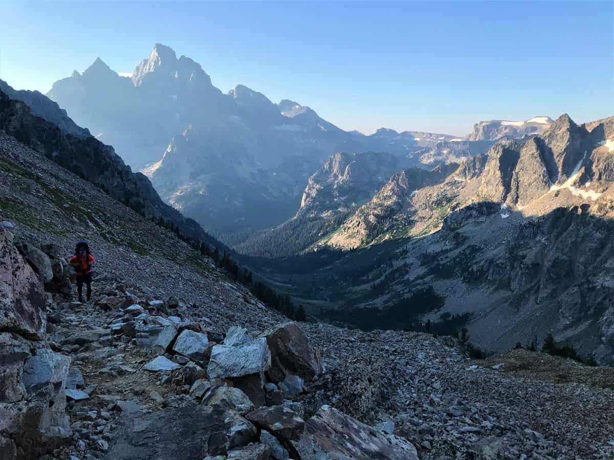
Unfortunately it was windy as all hell at the top, so we didn’t stop for pictures and just kept descending the scree “trail” and treacherous slopes as fast as we could safely go. This would be very dangerous with snow on it. Based on what an NPS ranger would tell us upon our exit, the winds may have been gusting up to 50 mph.
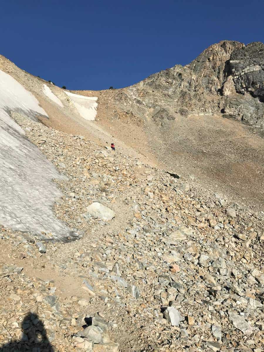
The 1.8-mi descent to Holly Lake provided pleasant scenery and meadows — I think camping in the upper Paintbrush Canyon Backcountry camping zone would be desirable. But to camp there instead of camping in North Fork Cascade would deprive one of glorious Grand Teton peak sunset views. So if you have to choose one site of either North Fork Cascade Canyon or Paintbrush Canyon, then choose North Fork Cascade Canyon (or both!). A good one-night backpack trip for those not able to complete the entire Teton Crest Trail would be to camp at North Fork Cascade Canyon Backcountry zone starting from the Jenny Lake boat on Day 1. On Day 2 you would carry over Paintbrush Divide and go out at String Lake as were doing on our Day 4.

The Paintbrush Canyon trail branches at Holly Lake, giving the hiker the equal mileage choice of Holly Lake (north) or an unnamed lake (south). Holly Lake was pleasant, but I suspect the unnamed lake may be more impressive given its location right up against a large ridge coming off The Jaw. After having breakfast at Holly Lake we continued the long, monotonous 6.5-mi descent to the String Lake trailhead.

Upon arriving at the trailhead we were buoyed by the feeling of accomplishment, and I could not help but feel extremely lucky and privileged to have spent so much time with my brother on one of the crown jewel trails of the NPS. I would be remiss if I didn’t mention how fortunate we felt about the cooperation of the weather and smoke. I can only imagine the disappointment and suffering of those who have been rained, hailed, or snowed on while attempting this trip.
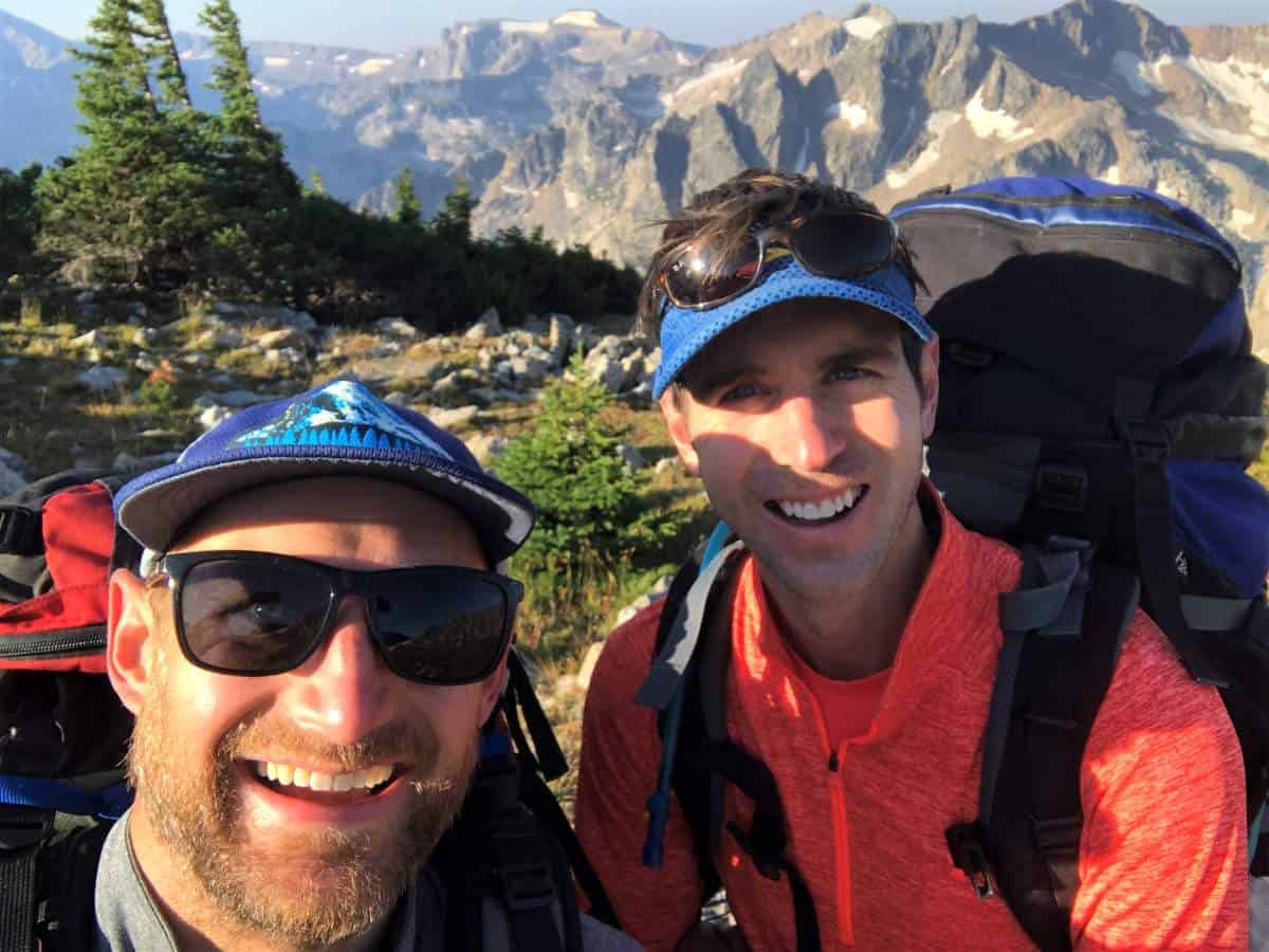
Overall, I would put this trip up against any of my other backpacking trips, perhaps only being outdone by Mt. Robson’s Berg Lake in British Columbia. My brother was an awesome companion who was willing to embrace my peculiar ritual of getting a couple miles under my belt before having coffee, trailside, instead of at camp. The last time we backpacked together was with Kristin and his wife to Island Lake and Titcomb Basin in the Wind Rivers in 2014. And the only hike that we had done together that exceeded the challenge of this was the completion of the Na Pali coast trail to Kalalau Beach and back in one day in 2009. The Teton Crest Trail will go down as one of our best shared experiences. We hope to tackle something in the Wind Rivers next summer.
Total Teton Crest Trail Miles and Elevation Gain: 49 mi and 9,600 ft vertical
If you are interested in reading more of my experiences in Grand Teton NP, visit Delta Lake Sunrise Hike. If you are seeking a car camping experience in Grand Teton National Park instead, check out Kristin’s recommendations Camping with Kids in Grand Teton National Park. If you have any questions about this backpacking experience, please reach out in the comments below. While this kids didn’t get invited to this particular adventure, don’t miss our recommendations for the Best Kid Hikes in Grand Teton National Park.






I feel like I just escaped to another world while reading this. Definitely inspired!
Do you use a GPS to navigate? That aspect of backpacking is so intimidating for me unless I can rely on an experienced guide taking the lead.
Can’t wait for the next post!
No GPS for Bryce — just paper maps! With this one, he was able to follow the trail the whole way and did ample research ahead of time on his route. He pretty much had his map out every night for weeks before this trip. 🙂