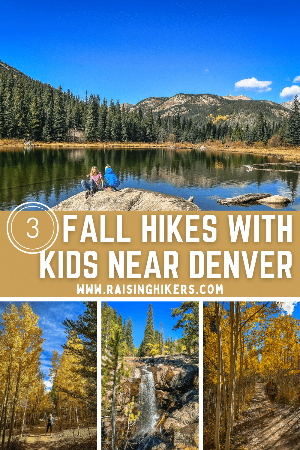
1 ) RACCOON TRAIL IN GOLDEN GATE CANYON STATE PARK – BEST FALL HIKES NEAR DENVER
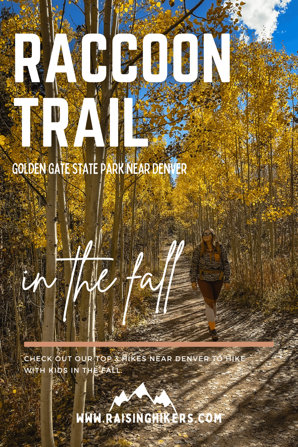
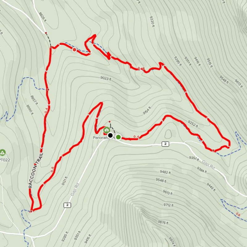
Miles: 2.7 miles (from Panorama Point Trailhead)
Elevation gain: 475 feet gain
Type: Loop
Dog friendly: Yes, dogs are welcome on leash– please be sure to pack out your dog poop!
Bathrooms at trailhead: Yes
Cost: This hike is in Golden Gate Canyon State Park, so you must have a daily park pass for $10 or an annual Colorado State Park pass for $80.
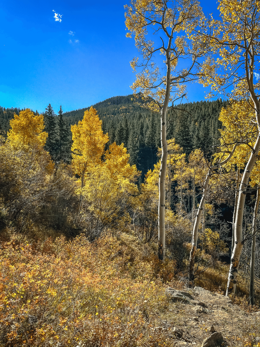
Pros – Why Raccoon Trail is one of the best fall hikes near Denver for families
- Lots of connecting trails since it’s a part of the state park
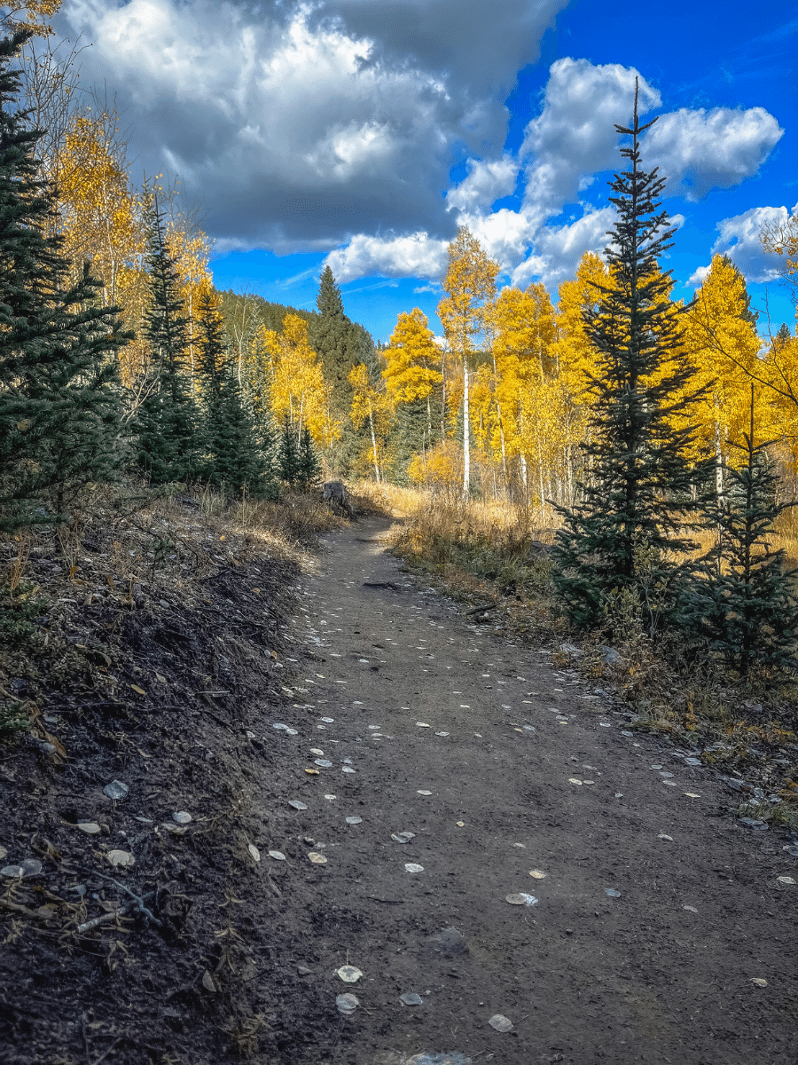
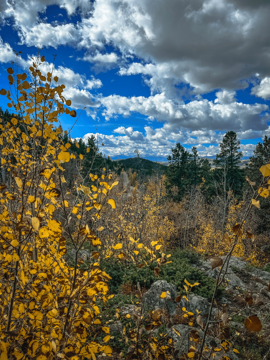
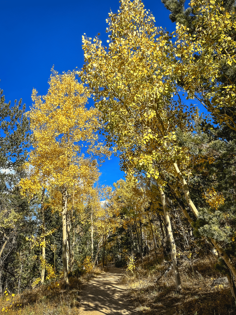
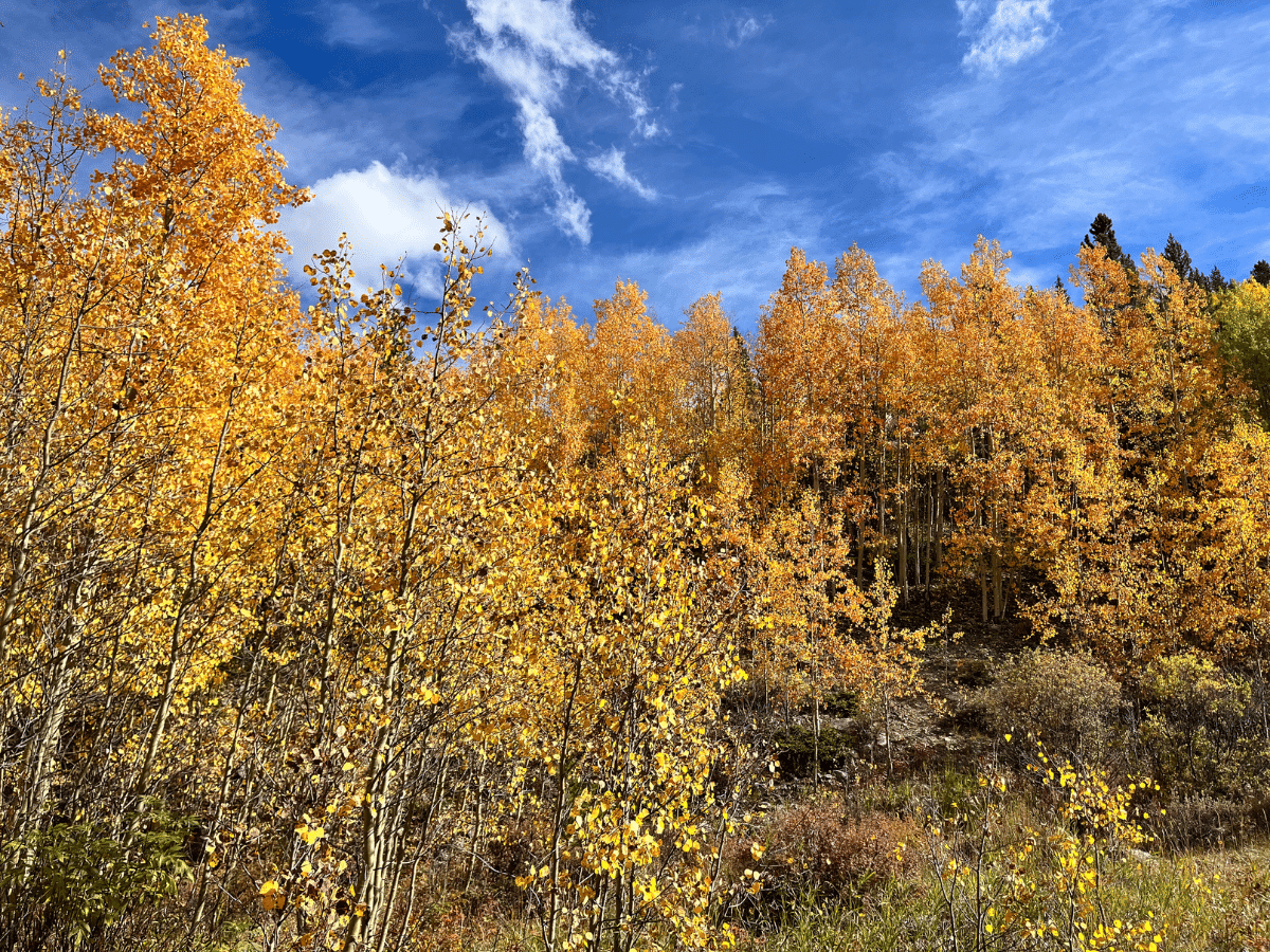
- Thick aspen groves for fall foliage
- Views of Mount Evans from Panorama Point
- Shade on the trail
CONS
- Parking could be challenging, especially on weekends as the lot is small. May consider parking at Reverend Ridge Campground if the Panorama lot is full.
- No waterfalls or lakes—while beautiful, there is a lack of variety of the views so could be “boring” for kids.
- You lose a lot of elevation and then need to climb it again, as opposed to hiking up at the start
- There is no cell service in the state park, so have directions and back up plans downloaded
DRIVING DIRECTIONS TO RACCOON TRAIL – PANORAMA POINT
There are a few places to access this trail. You can either park at the Reverend Ridge campground or you can park at Panorama Point. I recommend parking at Panorama Point for a few reasons. First, it’s a beautiful viewpoint so it’s awesome to start with such a gorgeous view. Second, it makes the hike shorter and eliminates the lollipop loop. Lastly, if you start at the campground and Panorama Point is in the middle of your hike, it can be a little defeating as you hike through the parking lot (where you could have parked) in the middle of your hike. You still have to do the same amount of work to get to the top as this loop descends and then climbs back up to the start point at the lookout.
Panorama Point is about an hour from Denver between Golden and Black Hawk. Take Highway 6 West until it turns into CO-93 N. Then turn left on Golden Gate Canyon Rd. After 14 miles, turn right on Mountain Base Rd for 3 miles. Turn right on Gap Road and after 0.5 miles, the trailhead will be on your left.
For Google Map directions, use these coordinates to Panorama Point.
Quote block: Autumn is a second spring when every leaf is a flower. 🍂🍁-Albert Camus
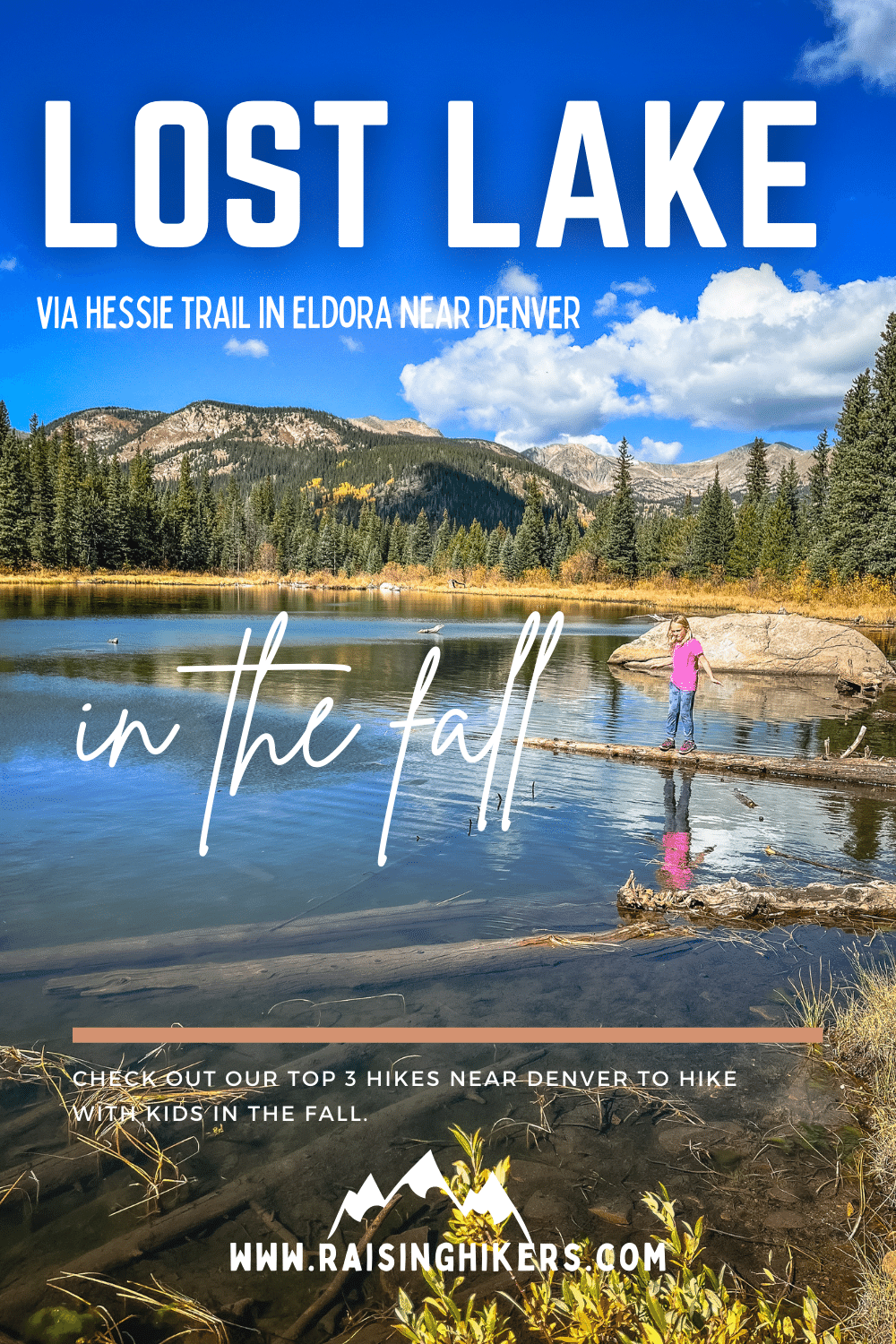
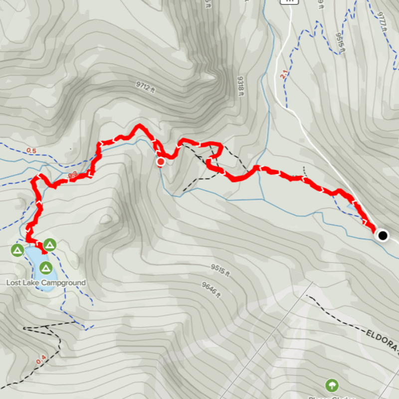
2) LOST LAKE VIA HESSIE TRAIL – BEST FALL HIKES NEAR DENVER
Miles: 4.7 miles
Elevation gain: 875 feet gain
Type: Out and back
Dog friendly: Yes, dogs are welcome on leash– please be sure to pack out your dog poop!
Bathrooms at trailhead: Yes, portable bathroom
Cost: Free (including free shuttle* in the summer)
*Shuttle & Trail Information can be found at the Boulder County website.

PROS – Why Lost Lake is one of the best fall hikes near Denver for families
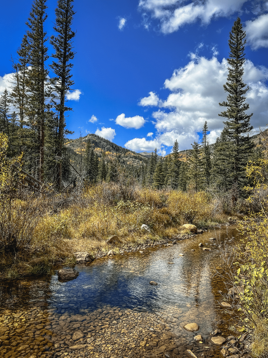
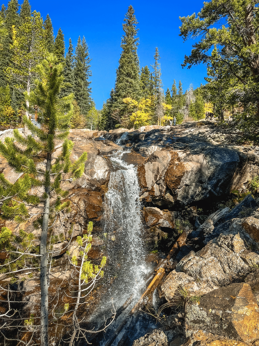
- Variety of scenery—waterfalls, views, lakes, mountains, aspends, even an old abandoned car.
- Shade on the trail and great snack and lunch spots
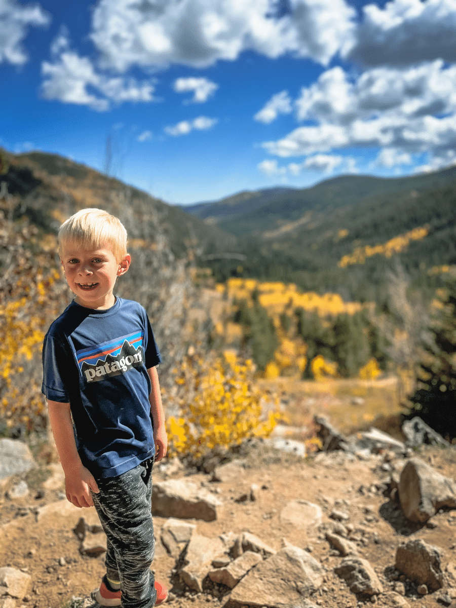
- Beautiful views at the lake
- Wide trail
- Free shuttle to the trailhead
CONS
- Very crowded and the dirt road is tight to navigate
- Pretty steep for small legs, especially on the way down
- Rocky trail


DRIVING DIRECTIONS TO LOST LAKE VIA HESSIE TRAIL
The Hessie Trailhead is near Nederland in Eldora, which is about 1 hour and 15 minutes from Denver (without traffic). From Nederland, head West and turn right on Eldora Rd. If the shuttle is running (typically late May until early October), I recommend taking the shuttle and parking in the Nederland High School. This 0.6 miles onto Eldorado Rd on the left. If you want to brave parking at the trailhead, continue for another 4 miles.
For Google Map direction, enter these coordinates to Hessie Trailhead.
3) ABYSS TRAIL – BEST FALL HIKES NEAR DENVER
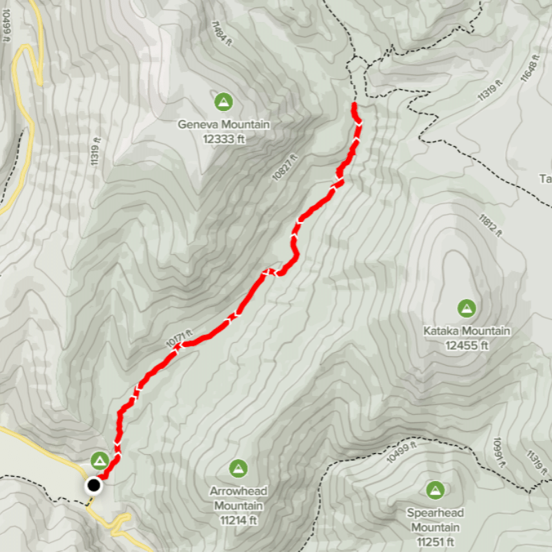
Elevation gain: 1240 feet gain
Type: Out and back
Dog friendly: Yes, dogs are welcome on leash– please be sure to pack out your dog poop!
Bathrooms at trailhead: No
Cost: Free
PROS – Why Abyss Trail is one of the best fall hikes near Denver for families
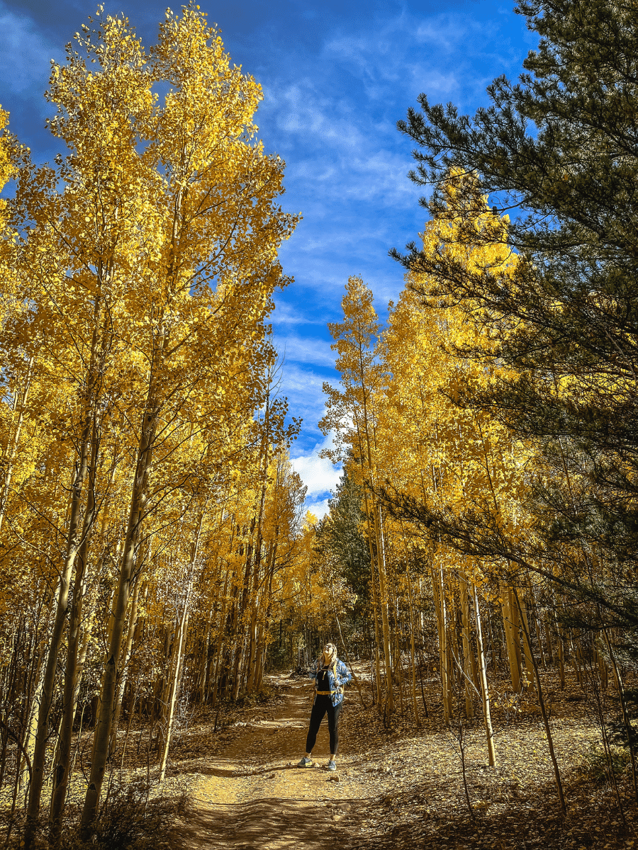
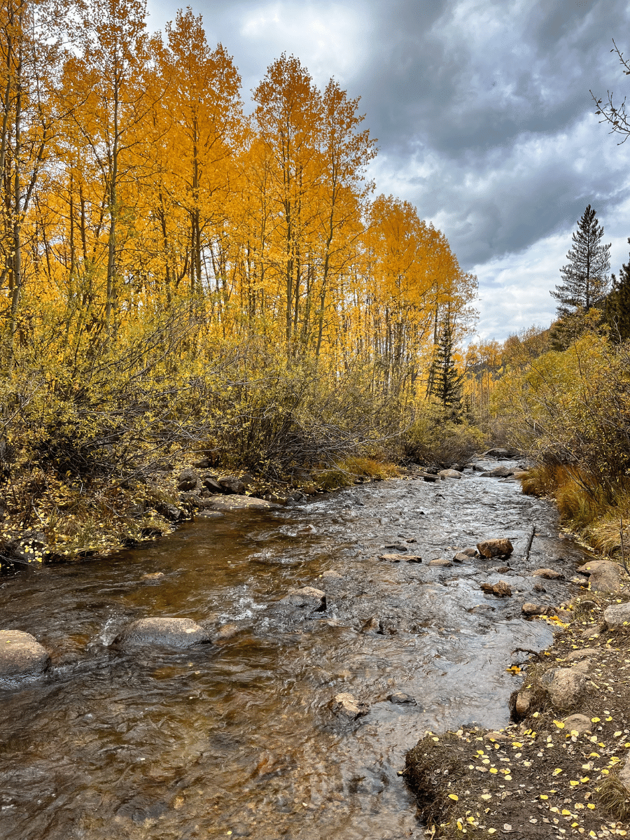
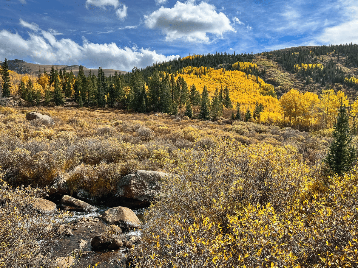
- Variety of scenery—creeks to cross, thick aspen groves, views of Mount Bierstadt and valley
- Amazing aspens right from the start of the parking lot. You can do as far or as little as you’d like. I recommend going at least 4 miles as that is where the views really open up the aspens start to thin.
- Most hikers turn around in the first couple of miles so if you are able to push further, the views get even better and the crowds thin.
- Plenty of shade
CONS
- This is one of the most popular fall hikes because it’s right off of Guanella Pass, which is one of the most trafficked fall drives.
- The trail has a consistent steady climb, which doesn’t give much break for small hikers.
- Since the distance that we went was 4 miles, then back, there wasn’t a clear “destination.” We turned at the clearing where the views of Mount Bierstadt open and had a snack near the Scott Gomer Creek.
DRIVING DIRECTIONS TO ABYSS TRAIL
Abyss Trailhead is about 1 hour and 15 minutes from Denver in Grant, Colorado along Guanella Pass. From Denver, you can take either I-70 W or 285 W. I always prefer 285, but I would recommend taking the opposite way back so that you can get the full Guanella Pass Scenic Byways drive. From Denver via 285 towards Fairplay, turn right after 13 miles on Geneva Rd/ Guanella Pass Rd. The trailhead will be on the right after 5 miles.
For Google Map direction, enter these coordinates to Abyss Trailhead.
TIPS FOR HIKING IN THE FALL IN COLORADO
- Weather can change quickly so be sure to bring layers and warm clothing
- Coloradans and out of towners alike flock to the aspen trails during the fall, so starting (very) early is the best way to ensure you will get parking and enjoy nature’s solitude.
- The “peak” leaf peeping dates, when the leaves are the most vibrant and gold, vary from year to year. Typically the fall season is late September to mid-October.
- Practice Leave No Trace principles on the trail. Particularly, it is NOT okay to carve initials into the beautiful aspen trees. Pack out everything you bring with you, including your dog’s waste.
- Be sure to snag a hiking checklist as you plan for your hike: What to Pack for a Hike with Kids.
LOOKING FOR MORE DENVER KID HIKES?
Top 5 Kid Hikes in Roxborough State Park
Roxborough State Park is located in Littleton, Colorado, just 40 minutes south of Denver. It is...
Waterton Canyon Bike Ride (or Hike!) with Kids Near Denver
With World Water Day coming up this month (March 22nd), I thought it would be fun to engage the...
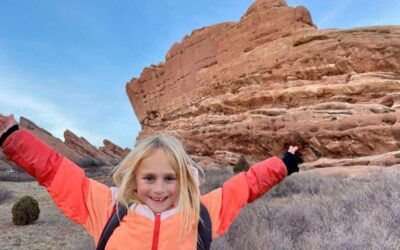
Red Rocks Amphitheater – Denver Kid Hike
When we are seeking an easy yet beautiful outing, our favorite Denver kid hike is the Trading Post...
Happy Hiking!
~Kristin






0 Comments